Know Your Land
Capturing aerial imagery for small geographic areas is more cost-effective using SRC’s Unoccupied Aerial Vehicle (UAV), also known as an Unmanned Aircraft System (UAS).
These small, remotely piloted, environmentally-friendly vehicles (under 3 kg) are autonomous aircraft that fly a pre-programmed flight path to capture high-resolution imagery for small geographic areas (less than 1,000 ha).
SRC has many years of experience in remotely-sensed data acquisition and offers UAV services to support industry and government.
Services
- High-resolution image acquisition
- Ground resolutions to 7 mm
- Typical flight elevations up to 122 metres above ground (with terrain following capability)
- Shade-free imagery capability (when UAV flies under cloud cover)
- Typical flights cover 50-75 hectares; multi-flight capability
- GPS ground control to improve positional accuracies
- Image processing services
- GIS-ready digital ortho-photos with metadata
- Digital terrain data
- Volumetric calculations (gravel pits, chip piles, etc.)
- Image editing and analysis
- Stereo photo interpretation
Applications
- Site assessments, mapping and reclamation planning
- Mine and industrial site inspection and monitoring to meet regulatory requirements
- Tailings, wasterock and feedstock volume calculations
- Leak detection and monitoring
- Green tree retention and forest regeneration surveys
- Site specific biodiversity assessments and monitoring
Contact us to find out how our UAV services can meet your needs or to see examples of the high quality imagery we can acquire.
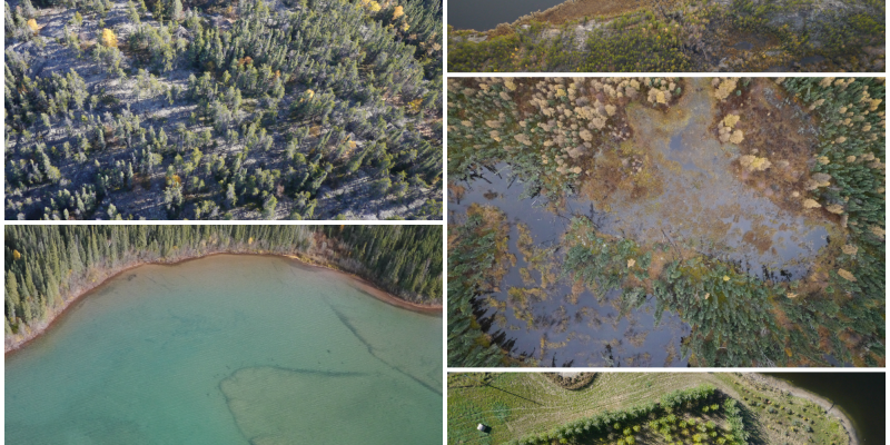
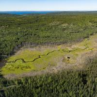
Aerial Imagery Samples
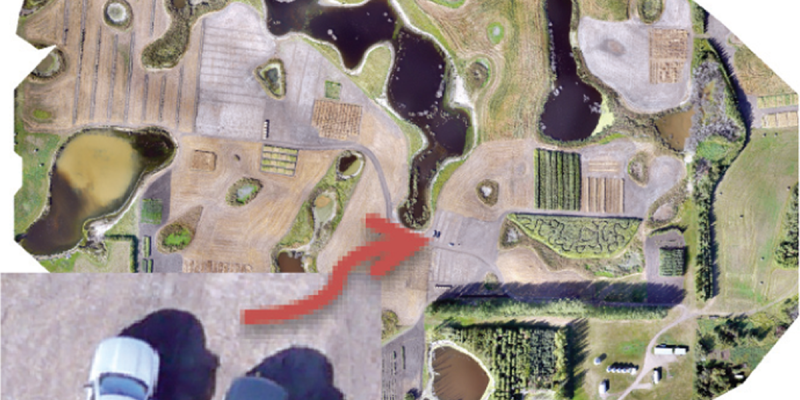
Imagery from Unoccupied Aerial Vehicle (UAV)
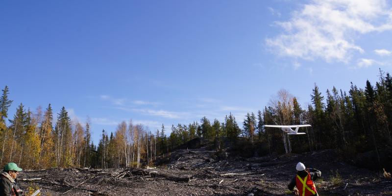
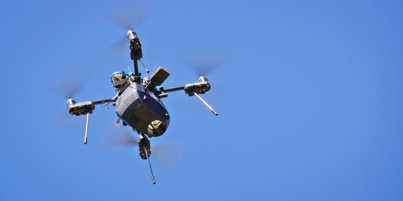
Unoccupied Aerial Vehicle Taking Off
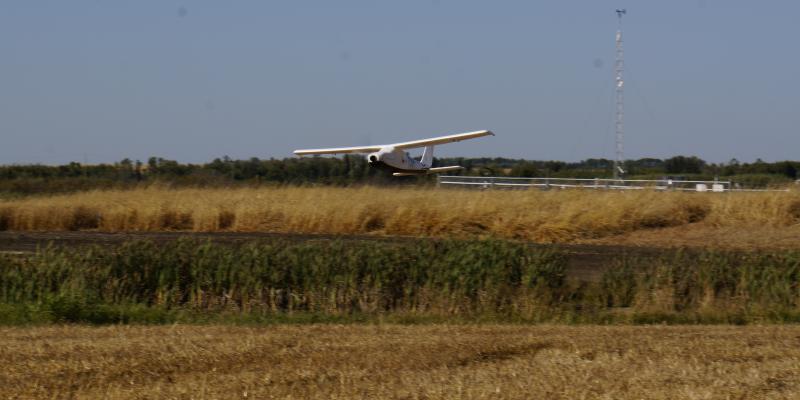
Unoccupied Aerial Vehicle
Air Quality Services

FlySask Ortho-Photography