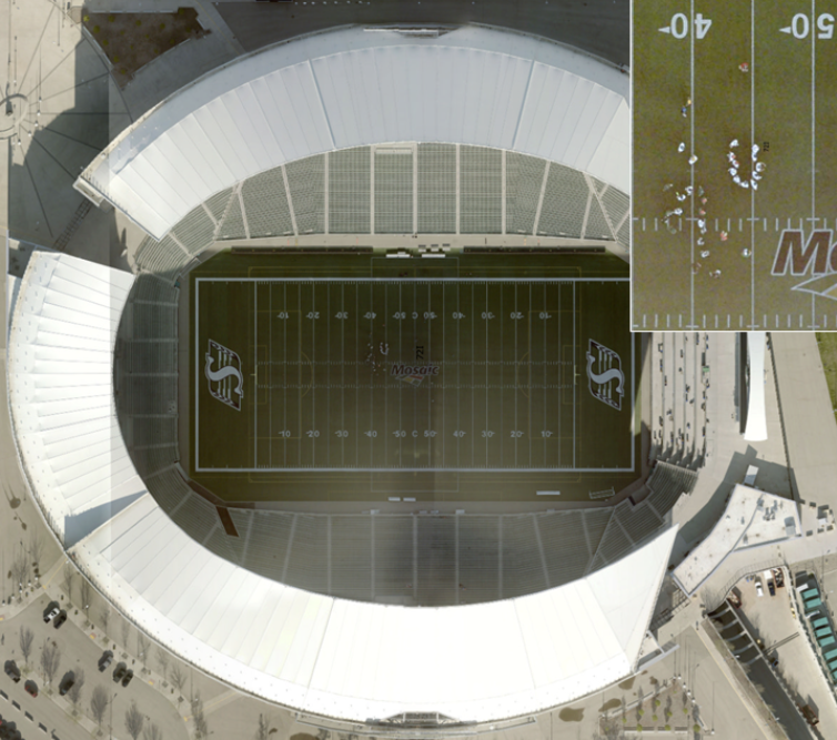
SRC is helping modernize how organizations across Saskatchewan access and share geospatial imagery with the launch of FlySask3, the next generation of the Saskatchewan Geospatial Imagery Collaborative’s (SGIC) imagery platform.
Geospatial imagery consists of photographs or sensor‑based images of Earth that include geographic coordinates. It is a subset of geospatial data typically collected through remote sensing technologies such as satellites, aircraft and drones.
FlySask3 replaces the aging FlySask2 platform with a modern, cloud-based solution designed to work with both Esri and Open Geospatial Consortium (OGC) standards. This will improve compatibility between SGIC’s more than 30 participating organizations, including SRC, and reduce the need to maintain duplicate copies of photos and imagery.
The new platform will offer improved security and scalability, live imagery status maps, tools to compare imagery over time and expanded support for elevation data, and light detection and ranging (LiDAR). It's a flexible platform that will continue to evolve alongside Saskatchewan’s geospatial needs.
Congratulations to our geomatics team for their hard work getting the FlySask3 platform ready for Saskatchewan!
Learn more about FlySask3 and SRC's aerial imagery services.